Bathymetry In Action
Bathymetry is the study of the contour of the land underneath bodies of water and shows variations in the seafloor and lake floor depth
similar to topographic maps on land.
Bathymetry In Action Read More »
Bathymetry is the study of the contour of the land underneath bodies of water and shows variations in the seafloor and lake floor depth
similar to topographic maps on land.
Bathymetry In Action Read More »

Tsunami is a Japanese word meaning harbor wave. Tsunamis can be created by earthquakes,
underwater volcanoes, and landslides.

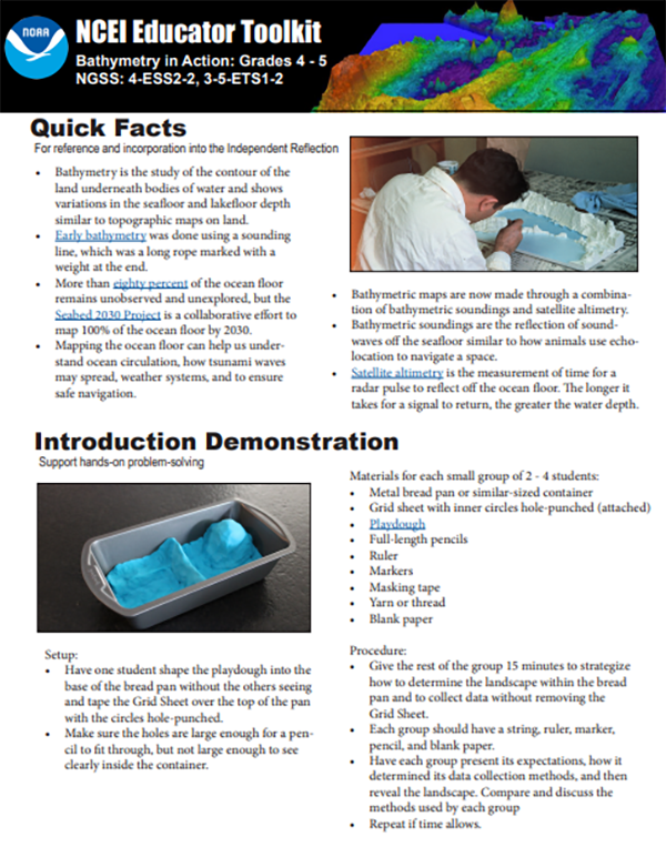
Hydrographic Surveying: Mapping the sea floor Hydrographic surveying is a scientific career that many people may not know about. In this activity, a sealed shoe box with a varied topography made out of clay will be measured by taking depth “soundings” with a skewer.
Mapping the Ocean Floor Read More »

Ocean Motion: Wind-driven currents
Model the flow of ocean surface currents by blowing air across a tub of rheoscopic fluid and water, with clay structures simulating coastlines, islands, and seafloor features.

The Earth has one large, interconnected ocean. The ocean covers over 70% of the Earth’s surface, surely making this a water planet. And, did you know that the same ocean, river, or bay that you
swim, fish, surf, and dive in can also be a fabulous classroom? The ocean provides students of all ages with unlimited opportunities to learn about the world around us.
Be an Earth Guardian Activity Book Read More »
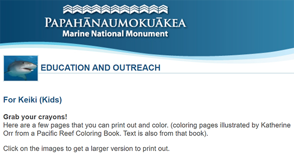
Grab your crayons!
Here are a few pages that you can print out and color. (coloring pages illustrated by Katherine Orr from a Pacific Reef Coloring Book. Text is also from that book).
Click on the images to get a larger version to print out.
Coloring Sheets: Papahānaumokuākea Marine National Monument Read More »

Coloring page from Flower Garden Banks National Marine Sanctuary http://flowergarden.noaa.gov
Coloring page: Flower Garden Banks National Marine Sanctuary Read More »

Meet Team Member for NOAA’s National Centers for Environmental Information (NCEI) Georgie Zelenak, Bathymetry Data Manger. Learn a bit about what he does and how she got to where she is.
Meet Our Team: Data Manager Georgie Read More »
Meet Team Member for NOAA’s National Centers for Environmental Information (NCEI) Scientist Charles “Chuck” Anderson, Fisheries Acoustic Data Manager. Learn a bit about what he does and how he got to where he is.
Meet Our Team: Data Manager Chuck Read More »

NOAA’s Physical Sciences Laboratory (PSL) Scientist Kelly Mahoney explains why floods happen and the different types of floods.
Ask a Scientist: Why Is Arctic Ice Melting? Read More »